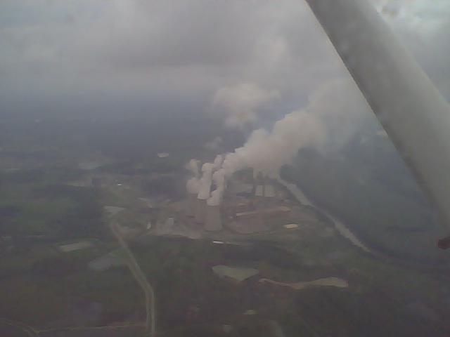
I was flying the other day, practicing a long distance, cross country flight plan with my instructor in the copilot’s seat when we came upon my next landmark used to make sure I am still on my planned route. On the air chart, it’s simply listed as “stacks”, but upon seeing them in person, my first thought was “nuclear power plant”.

What kind of power plant?
I pointed them out to my instructor and asked him if it really was a nuke site and he said “If that were true, we wouldn’t have been allowed to fly near it.” What on earth could it be with water cooling towers like that? It had a rail yard like a coal plant, but the cooling towers and the nearby river seemed to tag it as a nuclear power design. It was a mystery for sure, one that had to be looked into later.
After returning home, I decided to find out where that power plant was located and whatever story was behind it. Since air sectional maps are on a scale of 1:500,000, many small locations are omitted. I scanned the satellite maps on Google until I found what I was looking for. As it turns out, this is a semi-famous power plant. It was one of the largest coal powered steam power plants in the world when it was built in the 50’s, has a song written about it, and even grew it’s coal strip mining earth-moving operation so large as to wipe the town of Paradise off the map… literally. The nuclear-like water towers exist as part of the sulfur scrubbing process to help clean up the “dirty” coal being used from the surrounding area.
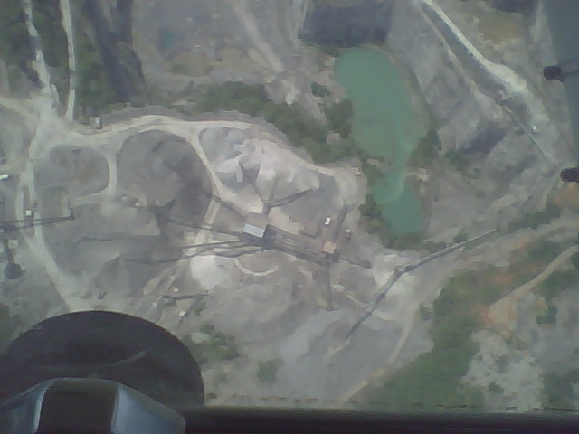
Seeing the area from the air shows the kind of scar such operations create and leave behind.

Surface mined coal leaves its mark.


